Ziemeļaustrumu Pamirs
NE Pamir
1988
6.kategorija
Apraksts
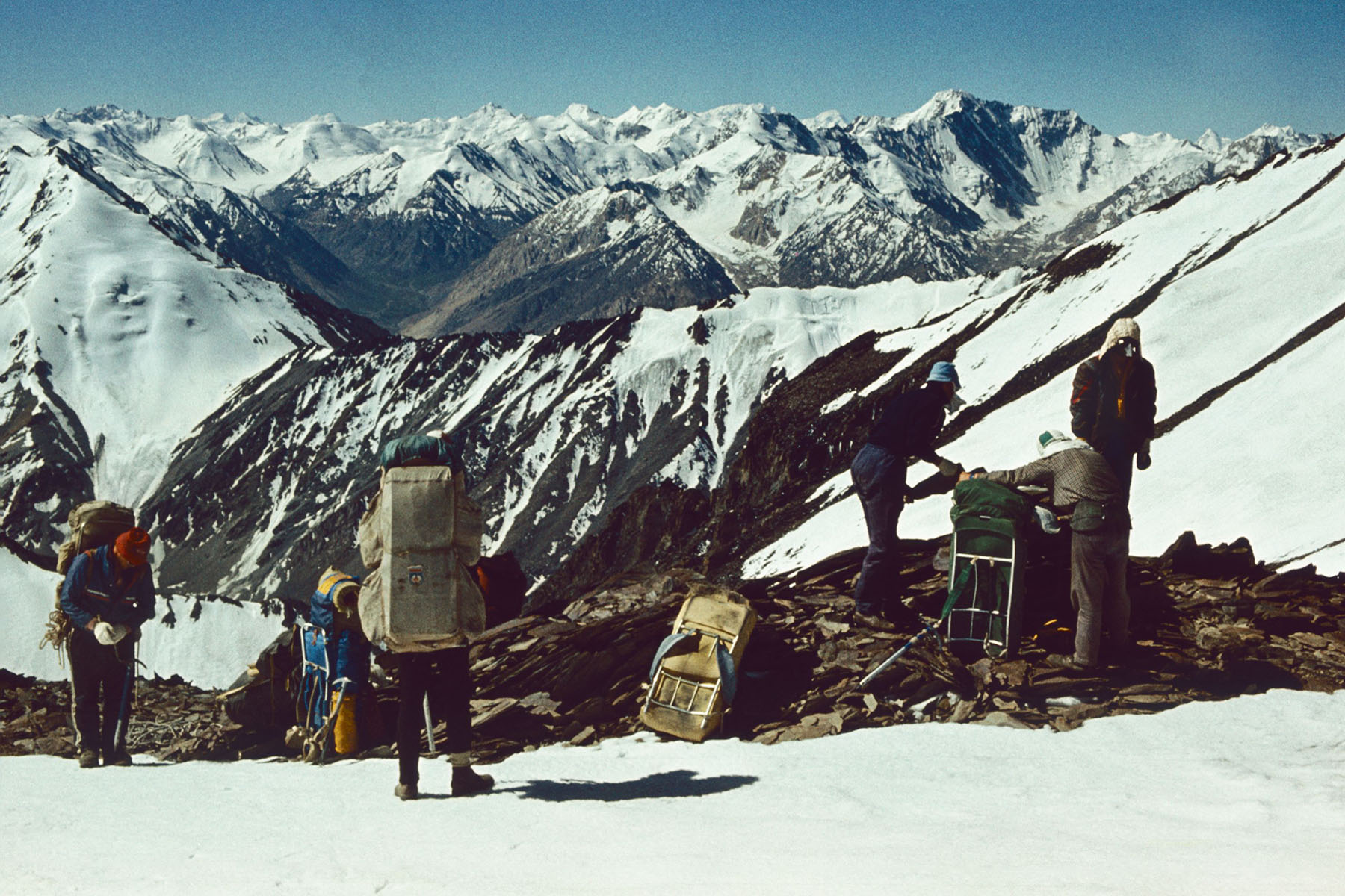
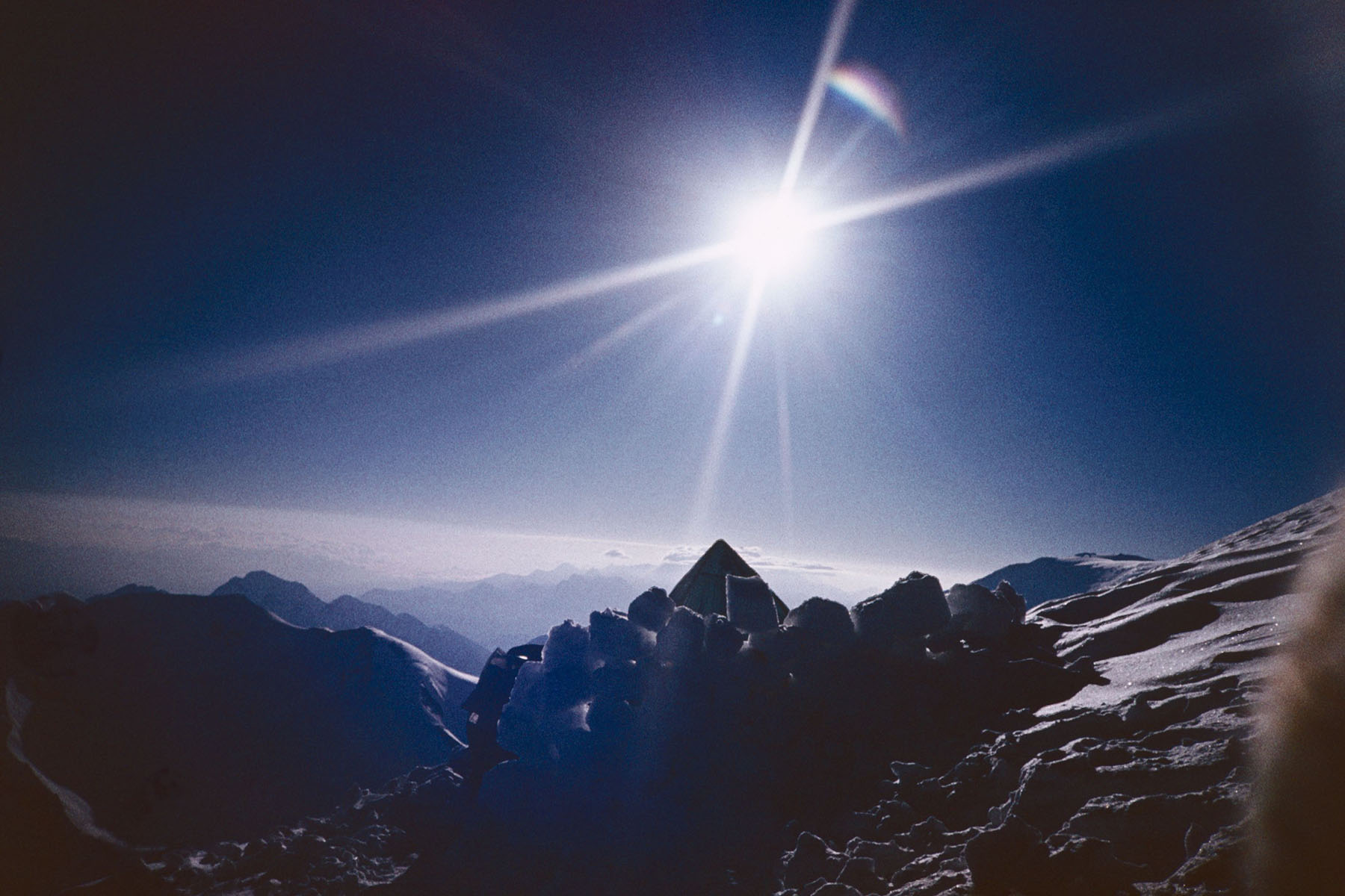
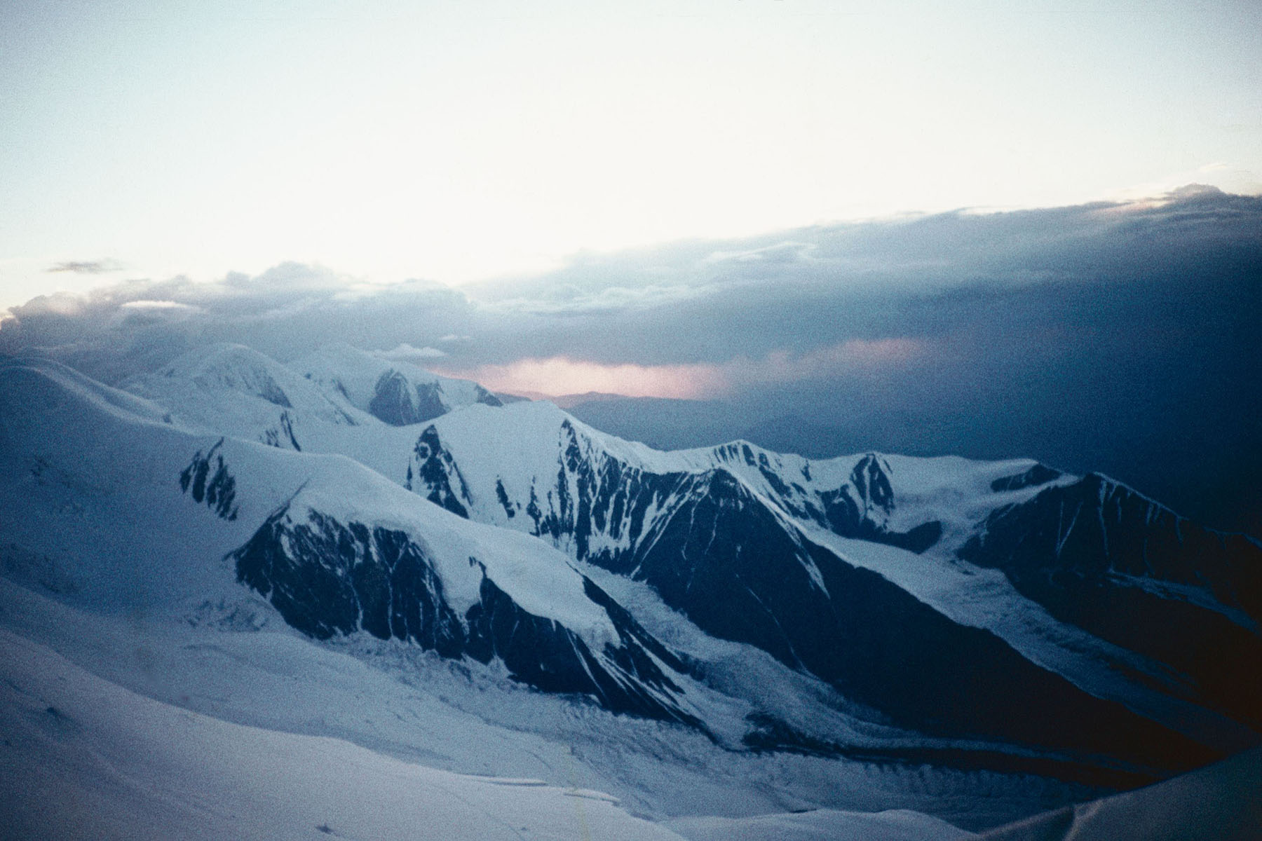
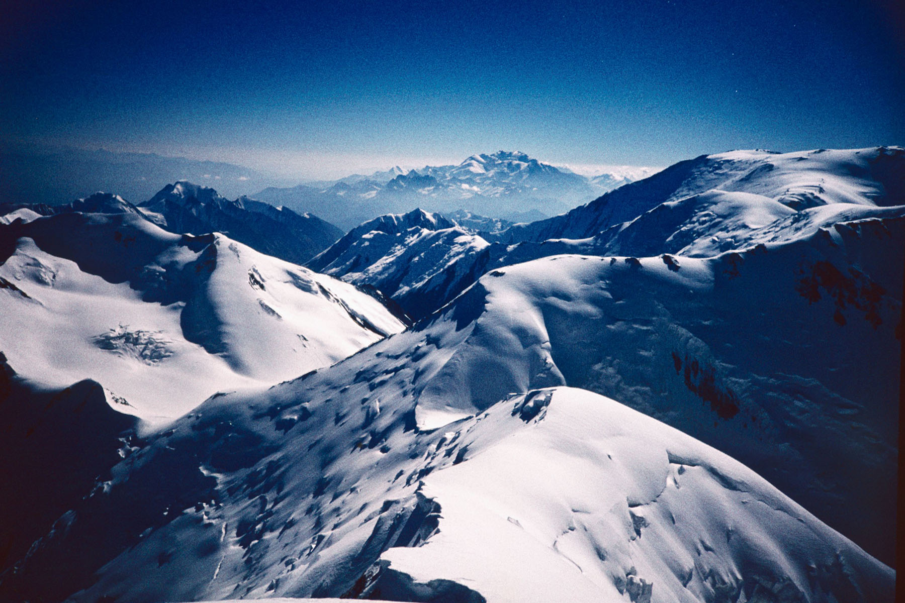
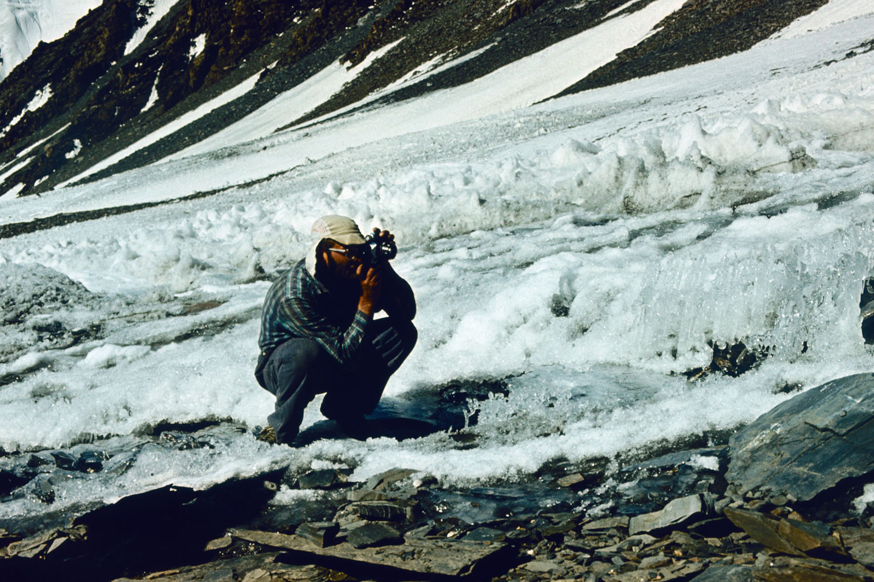
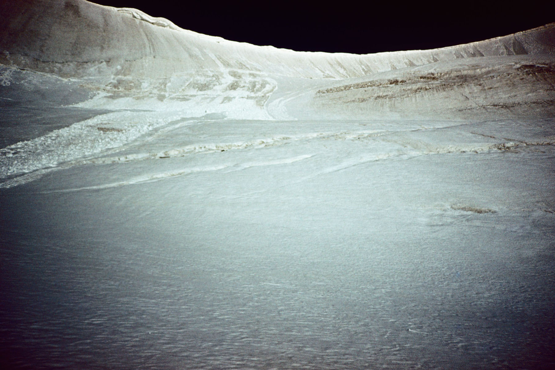
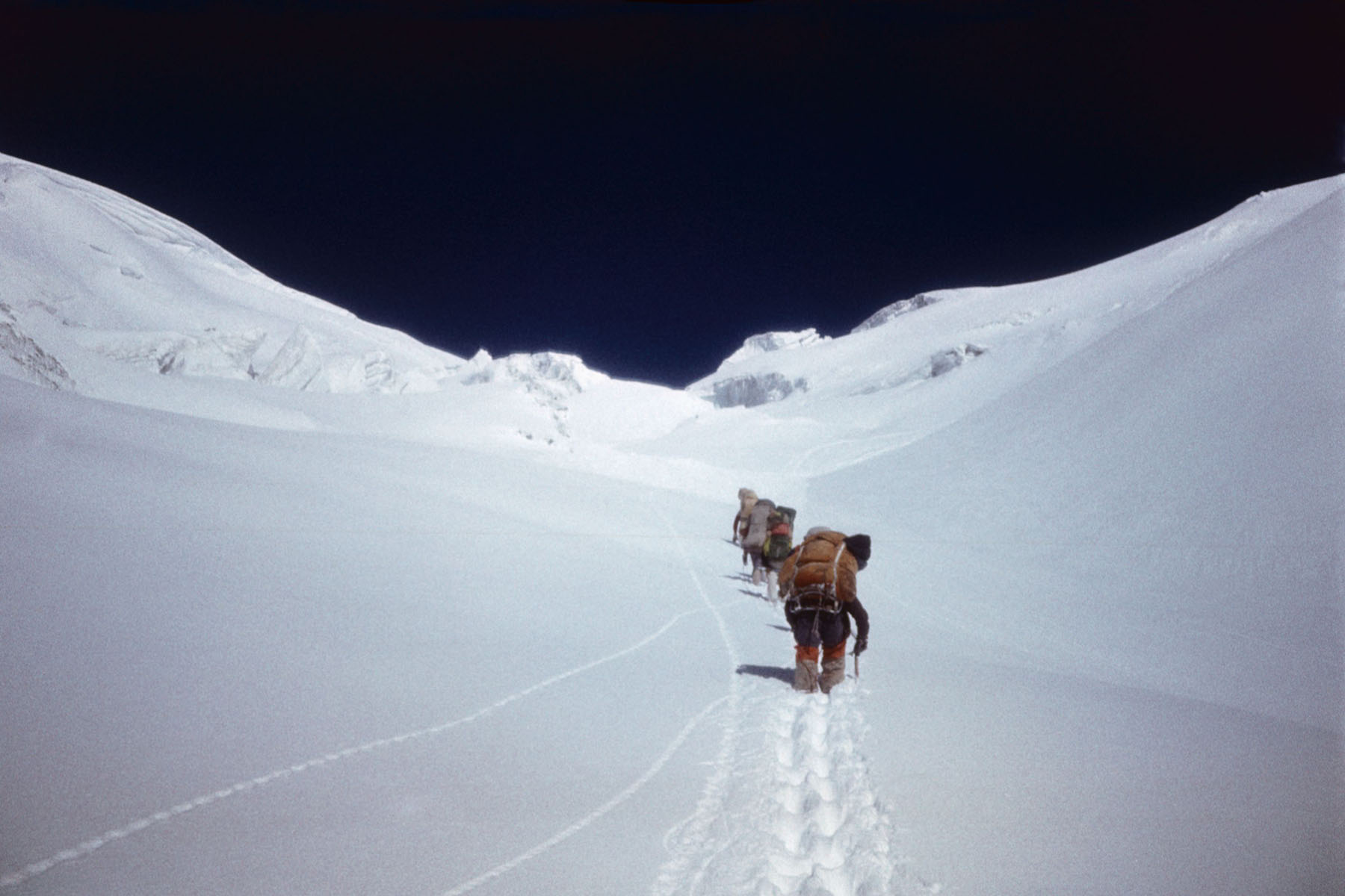
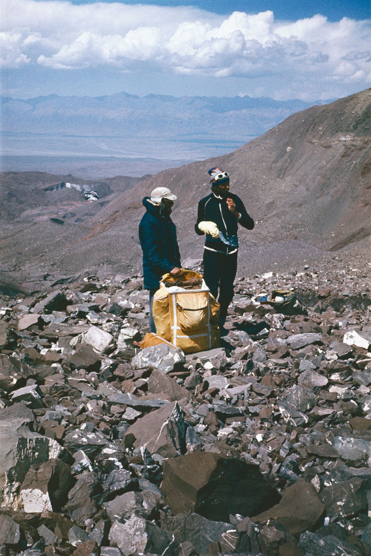
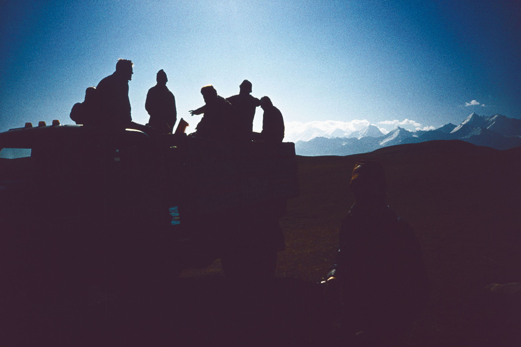
Viens no skaistākajiem Pamira rajoniem ir sniega un ledus klātā Aizalaja grēda ar tās atzariem. Dienvidaustrumos no tās atrodas augstkalnu plakankalne ar 380km² lielo Karakula ezeru (3900m vjl), Dienvidrietumos – maz izpētīts Pamira kalnu rajons ar Zulumarta grēdas atzariem – Saukdaras un Beleuli grēdām. Par šo rajonu mums informācija bija pieejama tikai no Vācu – Padomju 1928.gada Pamira ekspedīcijas materiāliem, kad tika veikta fotogrammetriskā reljefa uzņemšana. Pārliecinājāmies, ka uzņemtās kartes ir precīzas. Tieši šis maz izpētītais kalnu rajons bija mūsu ceļojuma sākuma galvenais mērķis, te mēs plānojām atrast jaunas pārejas, ko arī sekmīgi izdarījām – nosaucot jauno pareju pāri Beleuli grēdai par Baltika 88 (2B 5260m) un pāri Saukdaras grēdai par Rozenštrauha pāreju (2B 5470m). Saukdaras ielejā paņēmām no Karakula ezera puses pāri Zulumarta grēdai ienestās pārtikas rezerves un turpinājām maršrutu pa daudz augstākiem kalniem. Pārvarot sniegputenī sarežģīto R Vali leduskritumu, uzkāpām R Vali pārejā (3B 6300m), kur bija mūsu pirmā augstkalnu nakšņošana. Nākamajā dienā traversējām Dzeržinska virsotni (6717m) Dzeržinska pārejas (3A 5700m) virzienā, no kuras pa austrumu kori nolaidāmies uz Komana ledāja. Pēc atpūtas dienas sekoja uzkāpšana mūsu tehniski sarežģītākajā un arī pirmizietajā Lāčplēša pārejā (3A* 5580m). Mums izdevās veikt vienas dienas laikā 1380 metru augstuma starpību uzejā pa klintīm un ledus nogāzēm ar vidējo slīpumu 50°. Pēc nolaišanās caur leduskritumu uz Ļeņina ledāja uzkāpām līdz Lipkina klintīm (5200m), kas ir tradicionāla nakšņošanas vieta pirms uzkāpšanas Ibn Sīnas (Ļeņina) virsotnē. Pēc vēl vienas nakšņošanas uz kores 6504 m augstumā, uzkāpām Ibn Sīnas (Ļeņina) virsotnē (7134m). Nokāpuši uz Lielā Saukdaras ledāja augšējā cirka, pārgājām pār KKT 20 gadu pārejai (2B 5940m) un, šķērsojot plaisaino, milzu kalgasporu klāto Oktobra ledāju, sasniedzām “paradīzes naktsmītnes” vietu. Te mūs gaidīja nepatīkams pārsteigums. Uz ledāja 4900m augstumā atstātās un milzu akmeņos iekrautās pārtikas rezerves bija atradis lācis, kas, acīmredzot, daudzus kilometrus bija sekojis pa mūsu pēdām no ielejas un, izsvaidot akmeņus un saplēšot iepakojumus, kopā ar putniem bija izpostījuši mūsu pārtiku. Kā par brīnumu bija palikusi vesela, tikai nedaudz apskrāpēta ar lāča nagiem, konjaka pudele, kas bija paredzēta Jāņa L dzimšanas dienas svinēšanai. Par laimi degvielas rezerves lācis nebija aizticis un palikušajās piecās pārgājiena dienās iztikām bagātīgi dzerot no sniega izkausēto ūdeni un izlietojot pāris saujas atlikušās pārtikas. Divās dienās uzkāpām līdz Kizil Agina pārejai (3B 6540m) un traversējot Kizil Agina virsotni (6683m) pa ziemeļu kori ar nakšņošanu 6020m augstumā, nolaidāmies uz Spartakiādes ledāja. Šķērsojām Koržeņevska ledāja morēnas un pāri Obručeva pārejai (2B 5040m) nonācām Alaja ielejā. Kopumā maršruts bija ļoti interesants, tehniski sarežģīts un prasīja teicamu fizisko sagatavotību. Divdesmit piecās dienās nogājām 182 kilometrus, veicām deviņas pārejas, uzkāpām Ibn Sīnas (Ļeņina) virsotnē (7134m), traversējām Dzeržinska (6717m) un Kizil Agina (6683m) virsotnes, četras reizes nakšņojām virs 6000m, kopējais pacēlums pārgājiena laikā 14,4 kilometri. Ar šo pārgājienu piedalījāmies PSRS kalnu pārgājienu čempionātā, kur ieguvām sudraba medaļas.
Description
One of the most beautiful place of the Pamir Mountains is the snow- and ice-covered Trans-Alay Range. To the south-east there is a 4000m high plateau with 380km² of Lake Karakula, to the south-west – the little-explored Pamir mountains Saukdara and Beleuli Ranges. Information about this area was available to us only from the materials of the German-Soviet Pamir expedition of 1928, when the photogrammetric relief was taken. We made sure that these old maps were accurate. The main goal of the beginning of this montain hike was this little-known mountain area exploration, where we planned to find new passes, which we also successfully made – naming the new first ascent crossings over the Beleuli ridge as Baltika 88 Pass (2B 5260m) and across the Saukdara ridge as the Rozenstrauha Pass (2B 5470m). In the Saukdar valley, we took the food reserves brought from the side of Lake Karacula across the Zulumart Range and continued the route through much higher mountains. Overcoming the difficult West Wali icefall in the blizard, we climbed the W Wali Pass (3B 6300m), where we had our first high-altitude overnight stay. The next day we traversed the Dzerzhinsky Peak (6717m) in the direction of the Dzerzhinsky Pass (3A 5700m), from where we descendid along eastern ridge on the Koman Glacier. The rest day was followed by the ascent to our most technically complex and also the first ascent Lāčplēsis (“The Bear-Slayer”) Pass (3A* 5580m). We ascended a difference of 1380 meters in height in one day climbing cliffs and ice with an average slope of 50°. After descending through the icefall on the Lenin Glacier, we ascendid to the Lipkin Rocks (5200m), which is a traditional place to spend the night before climbing to the top of Ibn Sina. After another overnight stay on a ridge at an altitude of 6504 m, we ascendid to the top of Ibn Sina (former Lenin) Peak (7134 m). After descending to the upper circus of the Great Saukdara Glacier, we crossed the KKT 20-year Pass (2B 5940m) and, crossing the cracked October Glacier covered by giant calgaspores, we reached the place of “paradise accommodation”. An unpleasant surprise awaited us here. The food reserves left on the glacier at an altitude of 4900m and burried with rocks had been found by a bear, which had apparently followed many kilometers along our footsteps from the valley and had destroyed our food along with the birds, scattering stones and tearing packages. As a miracle, a bottle of cognac, whole, only slightly scratched with a bear’s claws, was left to celebrate Janis L birthday. Fortunately, the fuel reserve was not damaged and during the remaining five days, we survived by drinking plenty of melt water from the snow and eating leftover food. In two days we climbed to the Kizil Agin Pass (3B 6540m) and traversed the Kizil Agin Peak (6683m) along the northern ridge with an overnight stay at 6020m, after then we descended on the Spartakiad Glacier. We crossed the moraine of the Korzhenevsky Glacier, climbed to the Obruchev Pass (2B 5040m) and descended into the Alay Valley. Overall, the expedition was very interesting, technically complex and required excellent physical condition. In twenty-five days we walked 182 kilometers, crossed nine passes, climbed the top of Ibn Sina (former Lenin) Peak (7134 m), traversed the peaks of Dzerzhinsky (6717m) and Kizil Agin (6683m), spent four nights over 6000m, the total elevation during the montain hike was 14.4 kilometers. With this hike we participated in the USSR mountain hiking championship, where we won silver medals.
Maršruts / Route
Pirms pamatmaršruta sākšanas ienesam pārtikas rezerves, kuras noglabājam uz Komana un Oktobra ledājiem, kā arī Saukdaras ielejā.
Before starting the main route, we bring food reserves, which we store on the Komana and October glaciers, as well as in the Saukdara valley.
No lielās un plašās Alaja ielejas pārejam Tersagara pāreju (3600m) un nonākam Saukdaras ielejā.
From the large and wide Alay Valley we cross the Tersagar Pass (3600m) and come to the Saukdara Valley.
Pa Kaindi ieleju ieejam mazizpētītajā Beleuli grēdas rajonā, kuru izlūkojot atrodam jaunu pāreju, un to nosaucam “Baltika 88”, pāri tai nonākam Beleuli upes ielejā.
Along the Kaindi Valley, we enter the little-explored area of the Beleuli Range, which we scout and find a new passage. We name it “Baltika 88”, and across it we descend to the Beleuli River Valley.
Nākošo pirmizieto pāreju, kuru nosaucam par godu Eduardam Rozenštrauham, atrodam blakus skaistajai, sniegotajai Adlerhorna (5892m) virsotnei.
The next first-ascent pass, which we call in honor of Eduard Rozenstrauh, we found next to the beautiful, snow-capped Adlerhorn Peak (5892m).
Lai šķērsotu straujo un dziļo Saukdaras upi, kuru nebija iespējams pārbrist, nākas izveidot 18 metrus garu virvju pārceltuvi, vispirms pārmetot pāri upei virves galā divus krustiski iesietus leduscirtņus, kuri veiksmīgi ieķeras aiz lieliem akmeņiem un iztur nospriegošanu.
To cross the fast and deep Saukdara River, which could not be wade, an 18-meter-long rope ferry had to be built. We hurl two cross-bound ice hooks attached to rope across the river, which successfully clings to large stones and withstands tension.
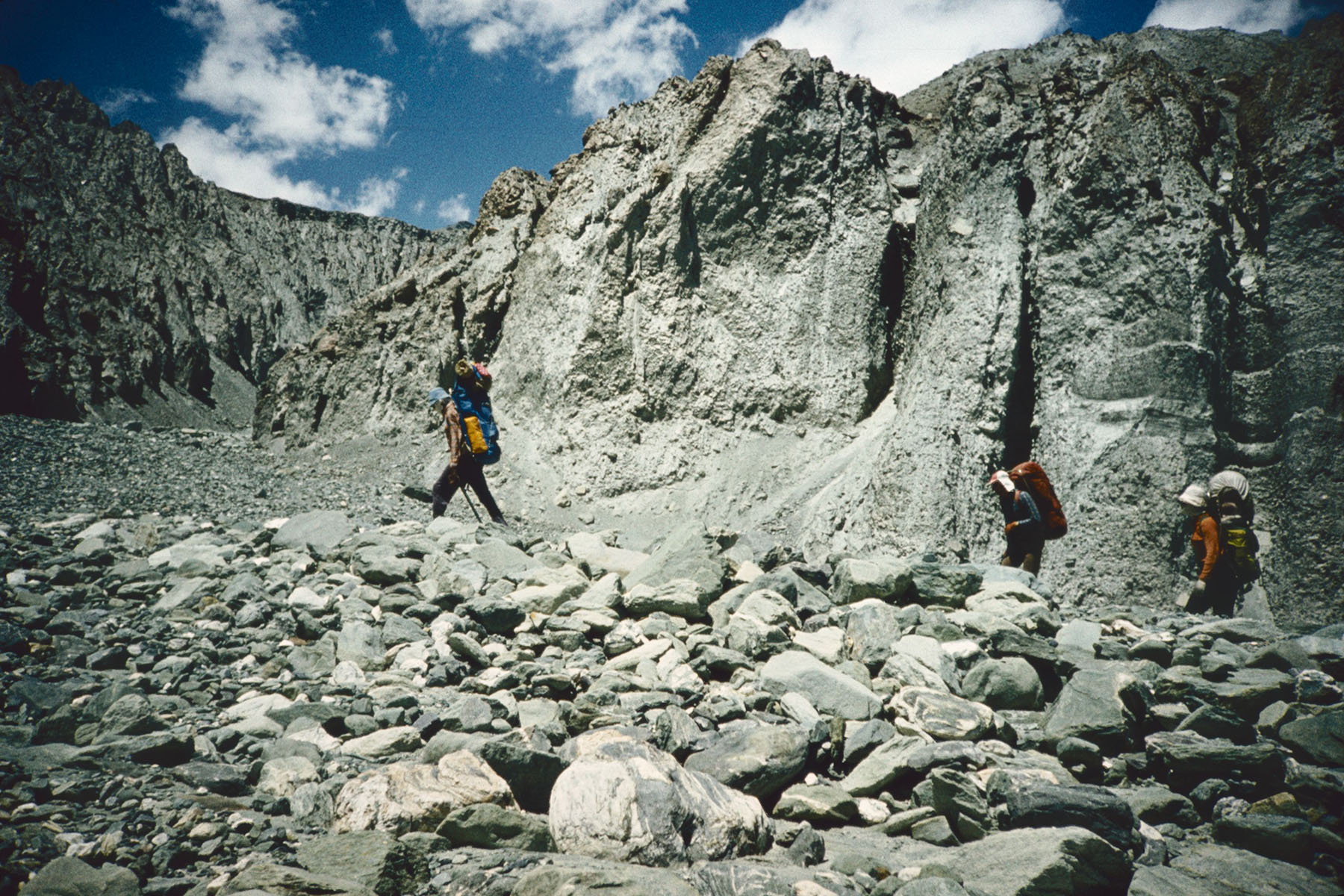
Izejot sarežģītu leduskritumu trīs dienās sasniedzam pārgājiena pirmo augsto pāreju.
Ascending very complicated icefall in three days, we reach the first high pass of our mountain hike.
Traversējot Dzeržinska virsotni nolaižamies līdz pārejai un tālāk līdz Komana ledājam.
Traversing Dzerzhinsky Peak, we descend to the Pass and further to the Koman Glacier.
Šī arī ir pirmizieta pāreja, tehniski sarežģīta un stāva uzeja pa klintīm un ledu, noejā leduskritums.
This also is first-ascent Pass, technically complicated and steep ascend along cliffs and ice, an icefall at descent.
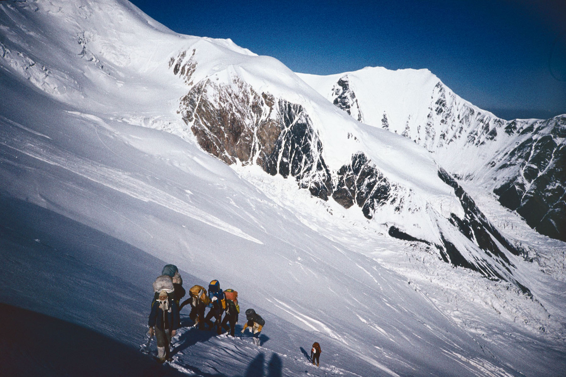
Uzkāpšana Ļeņina virsotnē pa klasisku maršrutu. Nolaišanās uz Lielo Saukdaras ledāju.
Classic route climbing on Lenin Peak. Descent to Saukdara Glacier.
Īsākais ceļš no Saukdaras ledāja augšējā cirka uz Oktobra ledāju.
The shortest route from the upper cirque of the Saukdara Glacier to the October Glacier.
Viens no visskaistākajiem maršruta posmiem ar brīnišķīgiem augstkalnu skatiem.
One of the most beautiful part of our mountain hike with wonderful and scenic high mountains views.
Pārgājiena pēdējā pāreja.
Last Pass in our mountain hike.
Izejot Alaja ielejā ciemojamies pie vietējiem iedzīvotājiem un no Saritašas ar gadījuma mašīnām braucam pa Pamira traktu uz Ošu.
Having reached the Alay Valley, we visit locals, and from Saritashi we hitchhike along the Pamir Highway to Osh.


Dalībnieki / This Team

Juris

Inta

Viesturs

Dainis

Jānis L

Ilgvars

Imants

Edvīns

Anita